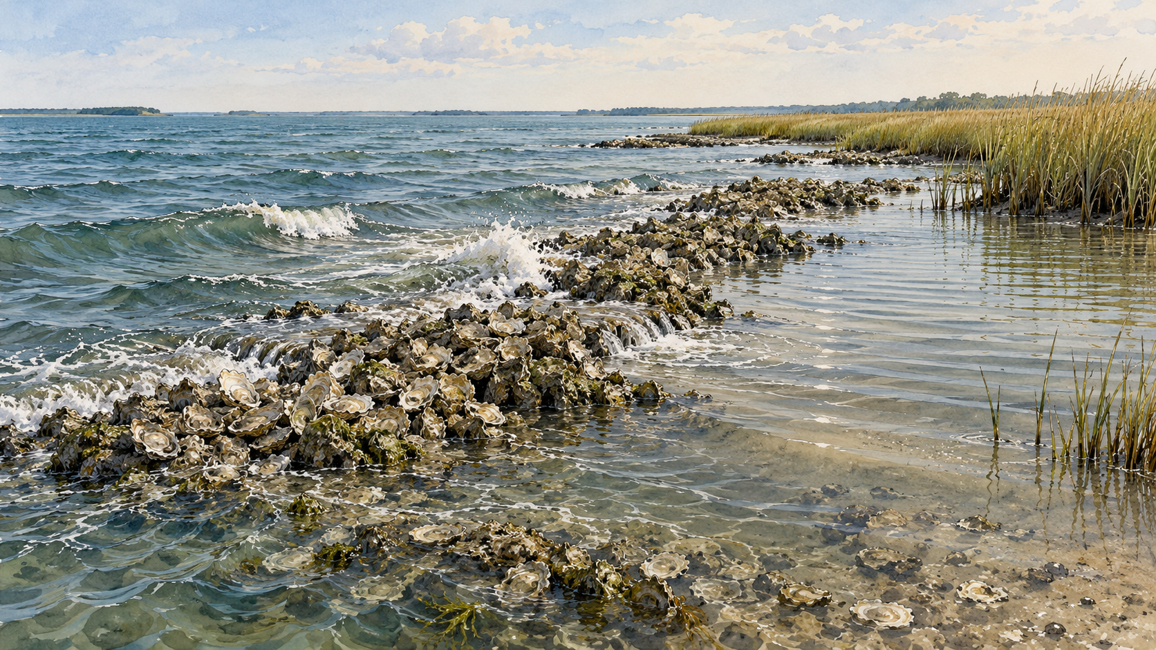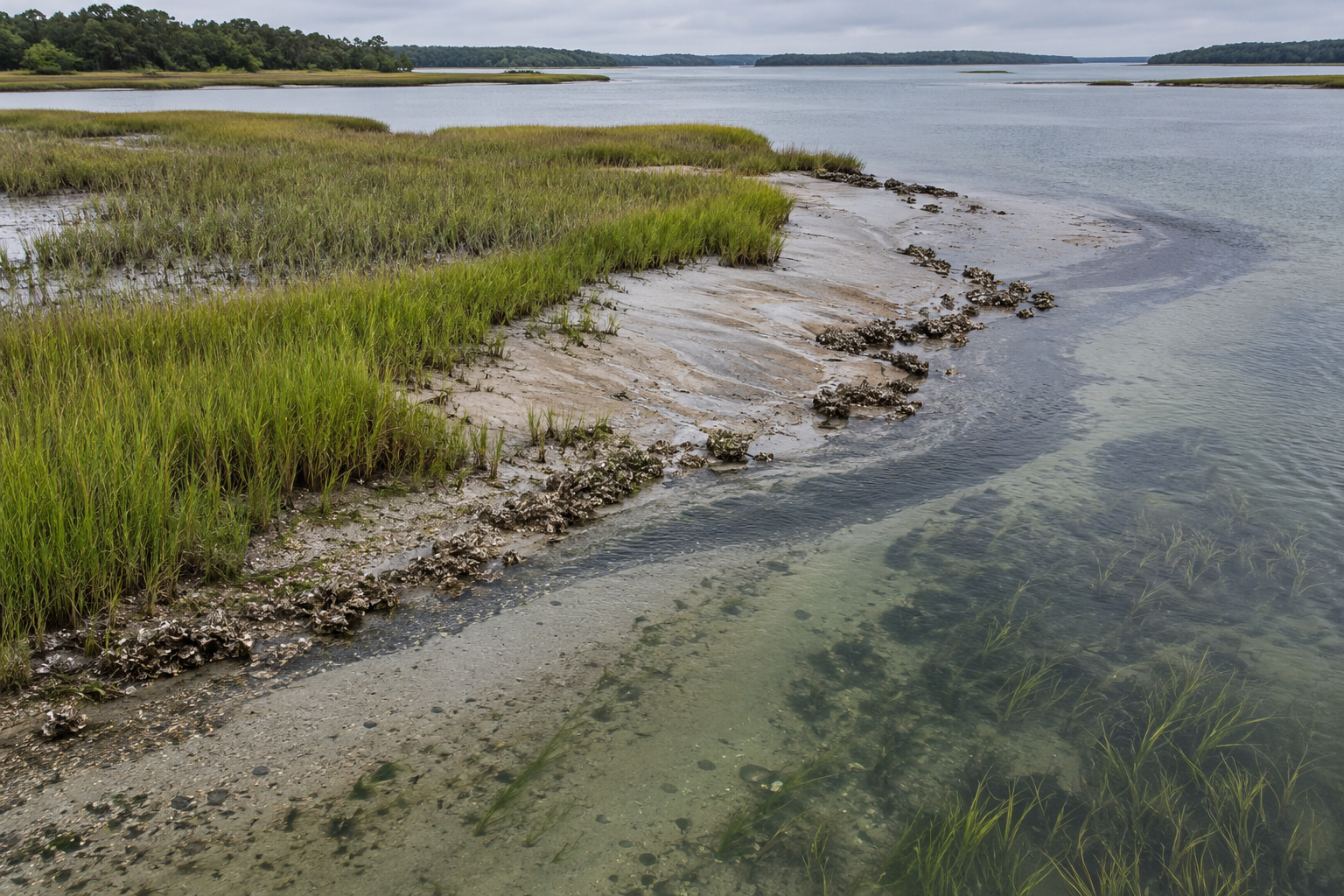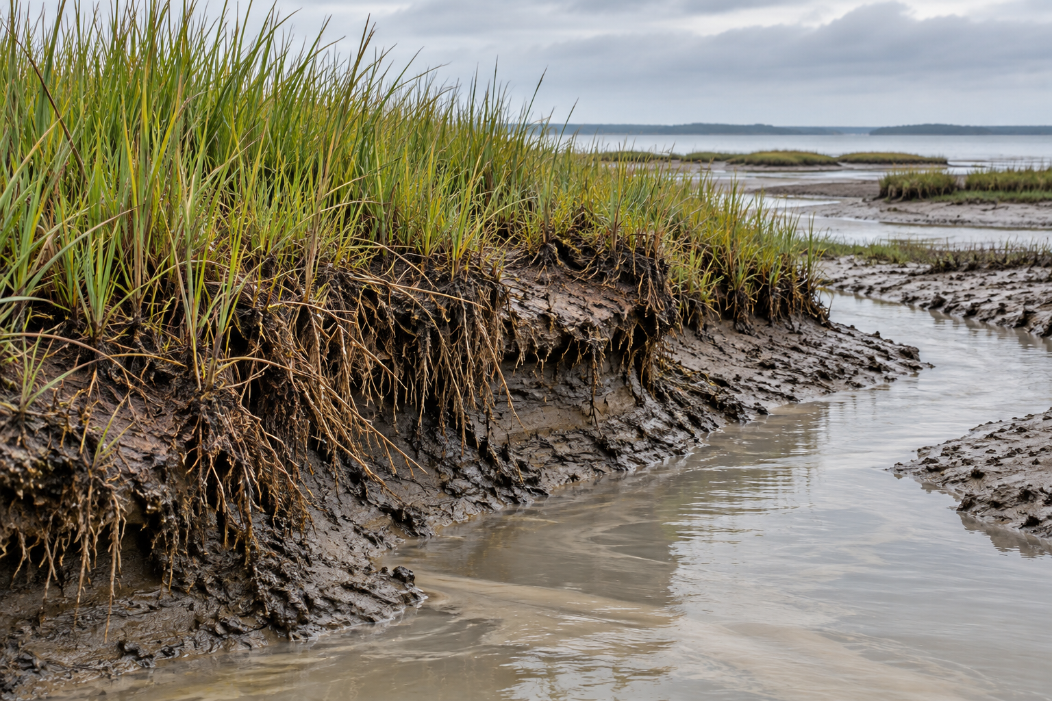
A salt marsh has a ground floor, although the tide keeps moving its threshold. Water crosses the grass, slows among the stems and leaves some of its suspended grit behind. Below that new layer, roots grow into older material. Some die and remain there. The surface that a bird or a person can stand on is the visible edge of work taking place both above and below it.
Calling that ground mud is fair enough. Treating it as inert is where the picture fails. A marsh depends on a continuing supply of material and on the living soil's capacity to hold a useful height relative to the tide. A layer can become thicker while the ground as a whole scarcely rises.
What arrives with the water
A tide carrying silt has only part of a marsh's building material. The water must reach the platform, the particles must settle, and enough must remain through the next ebb. Grass changes the path and speed of water, but its effect is local and uneven. In a field study in Portugal's Ria Formosa lagoon, researchers measured suspended sediment, currents and deposition across a tidal flat and marsh during spring and neap tides. Deposition differed across their short transect; the highest rates in that study occurred in the middle to upper marsh. The authors cautioned against treating a single elevation or flooding duration as a complete account of where sediment lands.
There is a difference in scale here. A sediment trap records what falls during a sampled tide. A marsh must retain enough material across seasons and years to change its surface. US Geological Survey researchers in South San Francisco Bay therefore placed traps and marker horizons along routes from the bay and marsh channels into the vegetation. Their dataset pairs sediment movement with the accumulated layer, vegetation and elevation. Its design makes an important question visible: how much of the supply reaches each part of the marsh, rather than merely passing through the water nearby?
The plants also build from within. Roots and rhizomes add organic material to the soil. Dead plant matter can persist when buried in saturated ground, where oxygen is scarce and breakdown is slow. NOAA's account of coastal blue carbon describes this burial as a reason marsh soils hold carbon. For the marsh's height, the same material matters as soil volume. Its fate depends on how much grows, how much decomposes and how the layers settle. Carbon storage and elevation gain are related processes, though one measurement cannot stand in for the other.
Two rulers in one patch of grass
Marsh scientists have a particularly clear way to separate these movements. They spread a thin, identifiable layer, often white feldspar, on a small plot. Later they measure what has accumulated above it. Nearby, a surface elevation table attaches to a fixed subsurface benchmark and lowers pins to the marsh surface. Repeating that measurement shows how the surface has moved relative to the benchmark. The published method description explains why the combination is valuable: the marker records material added at the top, while the elevation table also registers change within the soil above its benchmark.
Imagine, only as an illustration, that the new layer above a marker measures three millimeters and the surface rises by two. The missing millimeter could reflect shallow compression or loss within the measured soil column. If the surface rises more than the added layer, expansion beneath the marker may be contributing. The USGS field protocol gives exactly this kind of comparison. It also states a limit that matters: the instrument does not measure movement below the bottom of its benchmark. Nor does a single short interval tell us whether a marsh is keeping its place within a changing tidal range.
That paired reading corrects an easy mistake. A photograph of fresh silt shows delivery. It does not reveal whether older peat compressed under the load or whether roots built volume below the new surface. The mud has a vertical history, and two rulers read different parts of it.
The result depends on the place
On Fire Island, New York, researchers kept those measurements going for about two decades at three marsh sites. In their 2002–2022 record, surface elevation changed at average rates of 4.4 and 3.5 millimeters a year at two sites and fell by 0.3 millimeters a year at the third. The study compared them with a 5.1-millimeter annual rise in monthly mean sea level at NOAA's Sandy Hook station over the same period. That comparison is useful as a regional water-level reference; it is not a measurement taken on each marsh platform. At the site that lost elevation, the researchers also found shallow subsidence, long flooding and declining vegetation cover.
The study contains a useful warning about dramatic events. Hurricane Sandy opened an inlet near one monitoring site in 2012, and overwash sand covered parts of Fire Island. Yet the marker plots at the monitored sites showed no immediate deposition or erosion signal from the storm. A visible change to the barrier island did not translate neatly into a measured gain at those particular plots. Where sand goes matters as much as how much the storm moves.
A separate Long Island study of nine marsh sites found surface accretion at many locations, yet overall elevation growth lagged recent regional sea-level change at all but possibly one. The researchers used deep and shallow elevation tables to look within the active root zone. Except at one site, that zone made no significant positive contribution to measured height. Their conclusion is specific: these marshes lacked the root-zone growth needed to supplement surface deposits where large mobile mineral sediment supplies are scarce. They could not isolate one cause for that deficit from flooding, hydrology, nutrients and other interacting conditions.
Those findings resist a universal verdict. A marsh with ample sediment and vigorous belowground growth has different prospects from one receiving a thin mineral layer over compacting peat. Elevation also has to be judged against relative sea level: water rising and land moving together determine how often the plants flood. A positive number on the elevation table may still describe a marsh losing ground in the tidal frame.
Reading the next layer
It is tempting to treat sediment placement as a simple remedy: add soil, gain height. The measurements above show what such a claim must eventually answer. Did the material stay where it was placed? What happened to the roots beneath it? How much did the older soil settle? Did the plant community remain able to build the next layer? A project's initial thickness cannot answer those questions on its own.
The marsh surface is made by recurring exchanges. Water delivers grains and sometimes carries them away. Grass alters the current and supplies roots; buried tissue survives or decays. The ground settles, swells and shifts against the tide. A small core of dark soil can preserve traces of these movements, but the continuing work appears most clearly when someone returns to the same plot, measures both the new layer and the height of the ground, and lets the two numbers disagree.
A thought worth keeping?