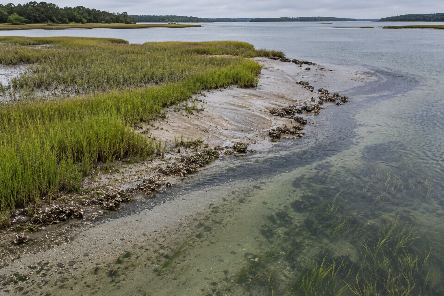
A marsh can look well planted and still be losing the ground beneath it. Stems may stand thick along a sheltered bank while the soil surface sits a little lower after each season. A living shoreline therefore has two related tasks: hold a useful edge against sideways retreat and keep enough material in the marsh to maintain its elevation. One can improve while the other does not.
Sediment is the material account behind those tasks. Mineral grains arrive suspended in tidal water or move across the bottom. Dead roots and other plant matter add organic material within the marsh. Water can also carry grains away on the ebb, scour them from an exposed edge, or move them to a different part of the same project. A sill, reef or planting changes those exchanges; it does not create an unlimited supply of mud. The question is where the material comes from, where it settles, and whether it stays long enough to help the marsh.
A gain in one place can be a loss in another
At Little Toms Cove in Virginia, researchers monitored a shoreline protected by modular oyster-castle structures and an adjacent control reach during two winter months in 2019. Their U.S. Geological Survey field report found finer suspended material behind the castles and signs of less lateral marsh-edge erosion there. Yet the measured vertical surface loss behind the structures was not convincingly lower than at the control. The report gives about 3.96 centimetres of loss behind the castles and 2.97 centimetres at the control, with a statistical test that did not establish a difference. The authors also noted that their elevation measurement accuracy limited what those short-period figures could prove.
That result is more useful than a simple verdict on oyster structures. Sediment collectors at the marsh edge and tiles in the interior did not tell the same story. Some material appeared to pass the edge and settle farther into the marsh. The castles altered local currents as well as waves, and a faster current near an end of the structure coincided with observed scour. In this setting, tidal currents were a major force, while the local supply of new sediment from outside the system was limited. The authors argued that bringing in mineral material from another source could matter for restoration. Slowing waves alone could not settle the supply question.
This is why a photograph of a calmer water surface can mislead. Water is part of the delivery system for sediment; it also removes sediment. A structure that changes its speed can make one patch a trap and another a corridor. An edge that retreats slowly may still have a surface that fails to gain height. The useful observation depends on the question being asked.
What the plants do, and what they cannot promise
Saltmarsh stems and leaves obstruct moving water, while roots help bind the ground. Those effects matter, but the relationship between the size of a plant canopy and sediment retained is not a rule that can be read from height alone. On England's Dengie Peninsula, researchers built a field flume across the seaward edge of a marsh and measured suspended sediment at both openings. They removed vegetation in stages to change canopy height and biomass. In the calm conditions they studied, material settled during flood tides and some left on the ebb; the net balance was positive. They found no significant relation between the canopy measures they changed and trapping efficiency in that experiment. Their published field study does not say plants are dispensable. It shows that the depth and movement of water, and the supply of particles in it, can prevent a tidy prediction from stem height.
The plant also has to keep growing in a surface that remains high enough, for long enough, in the tidal frame it occupies. A living shoreline can begin with placed material and a new marsh platform, but its later development depends on what the water brings and what the plants build below ground. If the surface fails to keep pace with rising relative water levels, an apparently stable plan view may conceal a shrinking margin for vegetation. Measuring the bank line alone cannot answer that vertical question.
The shore continues below the waterline
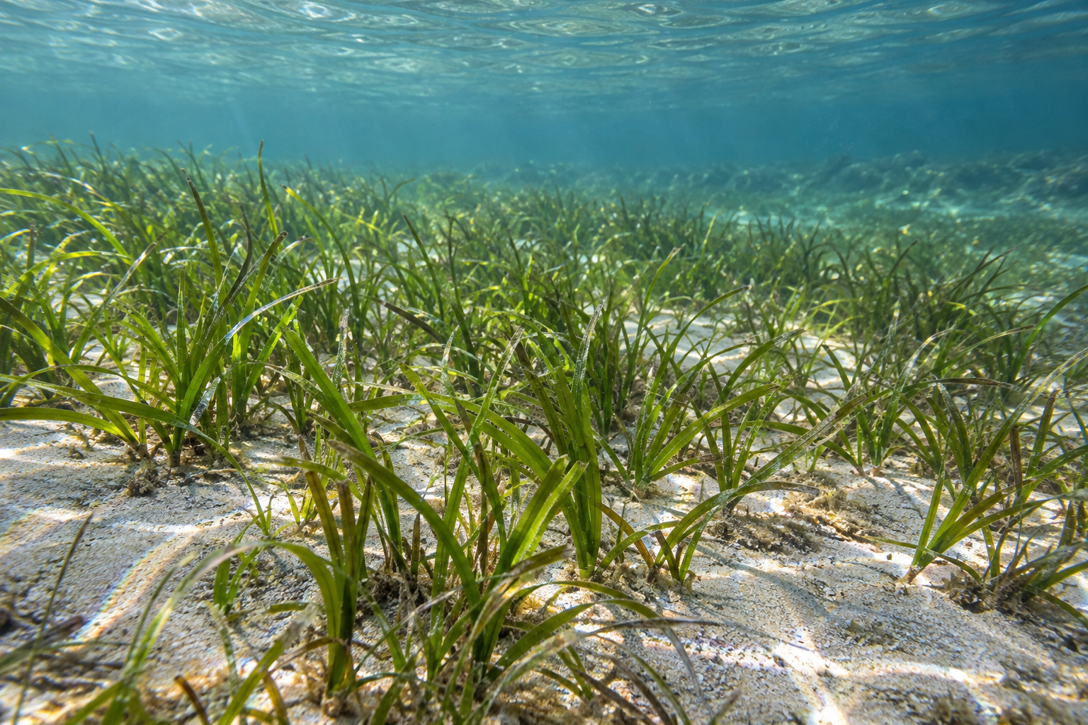
A marsh fringe often meets a shallow bed where submerged aquatic vegetation grows. That adjoining bed can trap particles too. In a Chesapeake Bay modelling study, Iacopo Vona and colleagues compared configurations with a created marsh alone, marsh with submerged vegetation, and both habitats with a protective rock structure. Their model was checked against field deposition measurements before they used idealized conditions to explore sediment exchange. Under the simulated moderate waves, the submerged vegetation reduced sediment loss compared with the marsh-only case. The added structure improved the modeled balance especially under more extreme forcing. The authors changed wave conditions and bottom slope because the same arrangement did not perform identically in every setting.
A model can show how materials and flows might interact; it cannot turn every estuary into its test basin. Field observations over longer periods supply another view. Cindy Palinkas and colleagues examined eight roughly decade-old Chesapeake living shorelines, each a created marsh with a rock sill, alongside nearby unaltered shores. In their 2023 field study, the installed shorelines had built seaward while erosion continued at the reference shores. Sediment and nutrient burial across the coastal zone was greater where the project had added marsh habitat. Changes in adjacent bottom sediment differed by site, and the observed distribution of submerged vegetation seemed to follow regional water-clarity trends rather than a uniform effect of the sills. The study did not test replacing an existing seagrass bed with a new marsh. Its point is narrower and stronger: the intertidal and underwater areas belong in the same account.
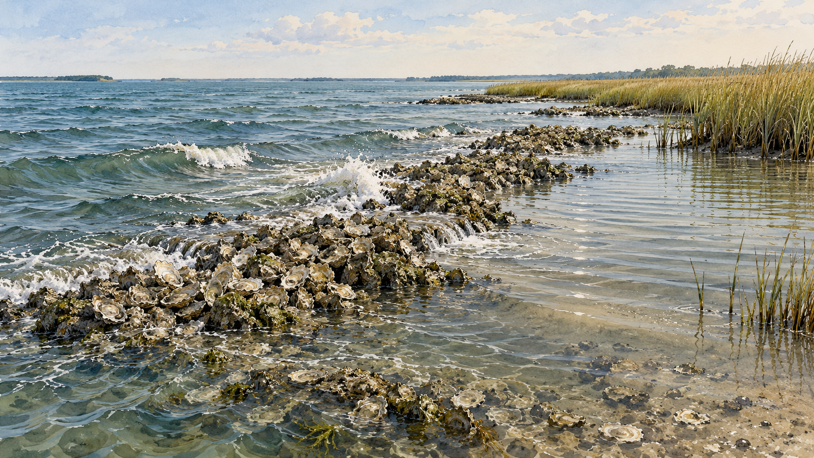
Oyster-reef projects add a further timescale. A South Carolina field assessment found that reef age related to oyster cover and marsh protection, while bank firmness, width, shape and location also affected outcomes. Some bagged-shell reefs continued to protect marshes for more than a decade. Their measured rate of relative protection describes those study sites, not a rate to promise every shoreline. A recently placed reef, a maturing reef and a marsh behind an old sill should not be judged by the same single-season snapshot.
Keep separate measures for separate promises
The first measurements at a site should describe its setting: tidal range, wave exposure, currents, bank shape, bottom material, vegetation, and possible sediment sources. After construction, repeat surveys of the shoreline edge show sideways movement. Elevation measurements show whether the marsh surface is rising or falling relative to a fixed reference. Sediment traps and surface samples help explain where particles pass or settle, while vegetation surveys show whether habitat persists. A single storm may test one part of the design; seasons and years test its development.
Each measure has a limit. A trap catches material for its sampling interval, not everything eventually held in the soil. A line on an aerial image says little about the height of the marsh behind it. A greener patch says little about the sediment supply beyond its roots. The Little Toms Cove monitoring makes these distinctions visible because the same shoreline could show finer sediment behind a structure, less apparent edge retreat, and no demonstrated reduction in surface-elevation loss during the short study. The shore's account has several columns. Keeping them separate is how a living shoreline can be improved, rather than merely admired.
A thought worth keeping?